






top of page
Mask group (6).png
aerial-view-of-an-open-pit-of-iron-ore-resource-m-2026-01-07-00-30-25-utc 1.png

Connect with a Specialist

Engage with our team to define survey parameters around your geology and targets, improving data quality and supporting more effective exploration decisions.

End-to-End Airborne Survey Solutions

Rosor manages every stage of your program. From survey design and UAV Geophysical Surveys to data processing and Geological interpretation, every deliverable is produced in-house to the same standard of precision.

Airborne Surveying

Airborne Survey Services that capture high-resolution data across any terrain, with real-time Quality Assurance and Quality Control (QA/QC).

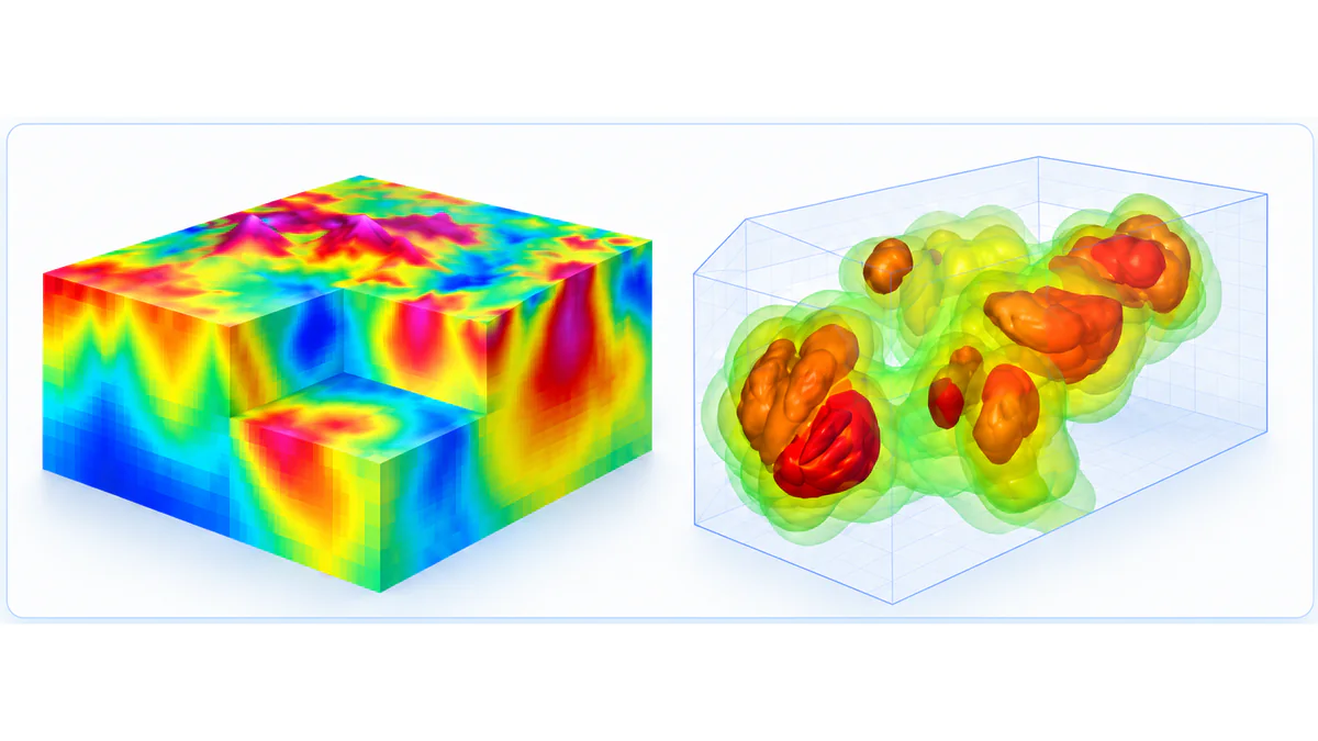
3D Modeling & Data Processing

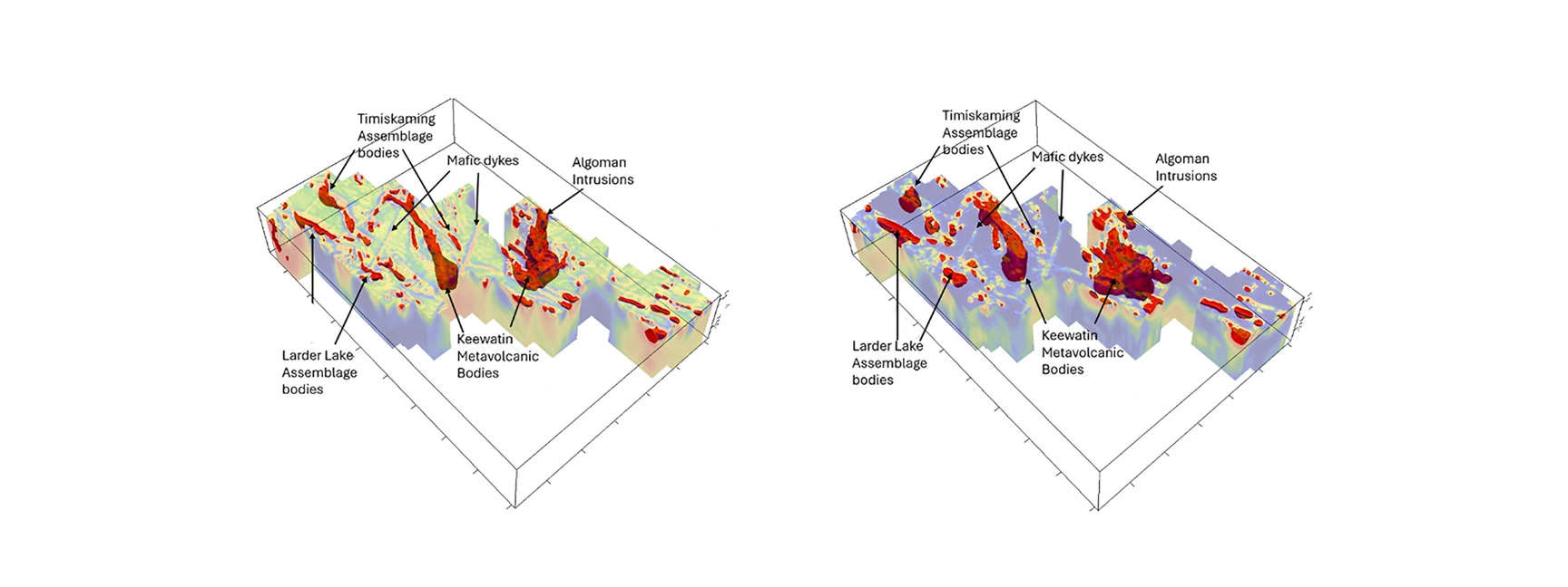
Refining complex geophysical and geospatial data into decision-ready insight through high-resolution imaging of surface and subsurface features.

Engineering R&D

Custom airborne engineering solutions designed to solve survey limitations, improving performance, reliability, and data consistency in complex exploration environments.

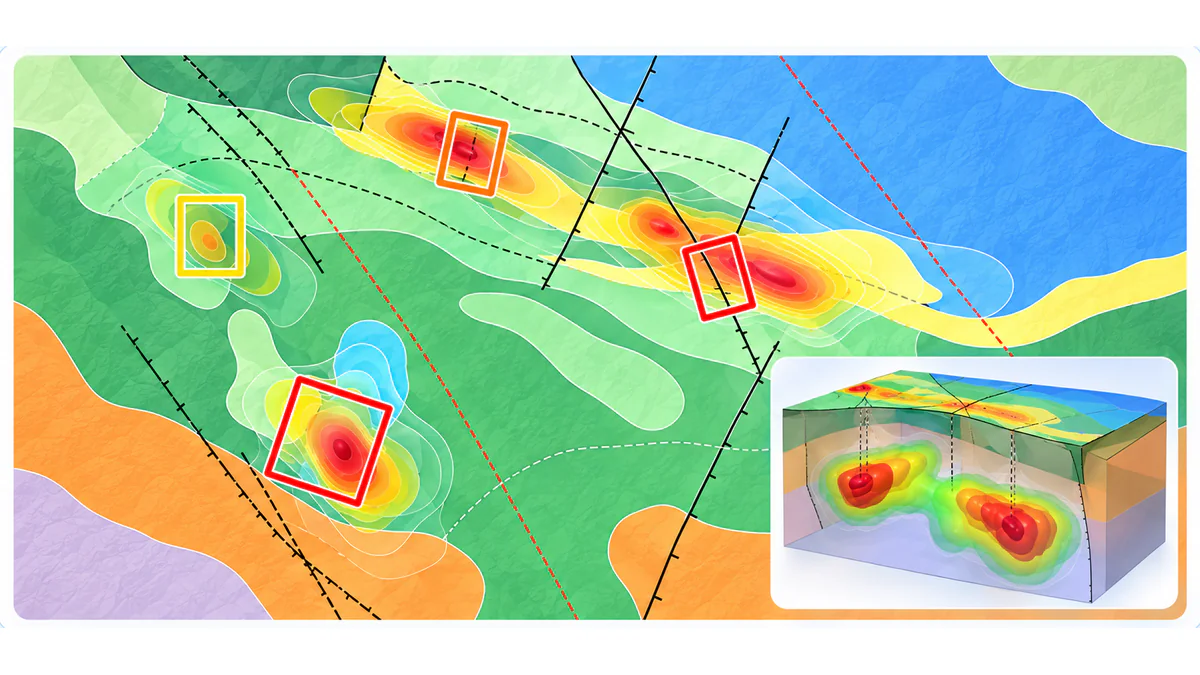
Geological Interpretation

Expert structural analysis and mapping that uncover structure, define targets, and guide drill strategy.

-AIRBORNE EXPLORATION

Accelerate
Your Discovery

Reveal hidden subsurface resources with Airborne Geoscientific Surveying. Aerial innovation tailored for the mining and energy industries worldwide.

Survey Data Collection

Every survey type captures a different dimension of the subsurface. Combined, they deliver the insight needed to define targets and advance exploration.

01

Magnetics

02

Electromagnetics

03

Radiometrics

04

Photogrammetry

05

LiDAR

06

Hyperspectral

magnetics.jpg

01

Magnetics

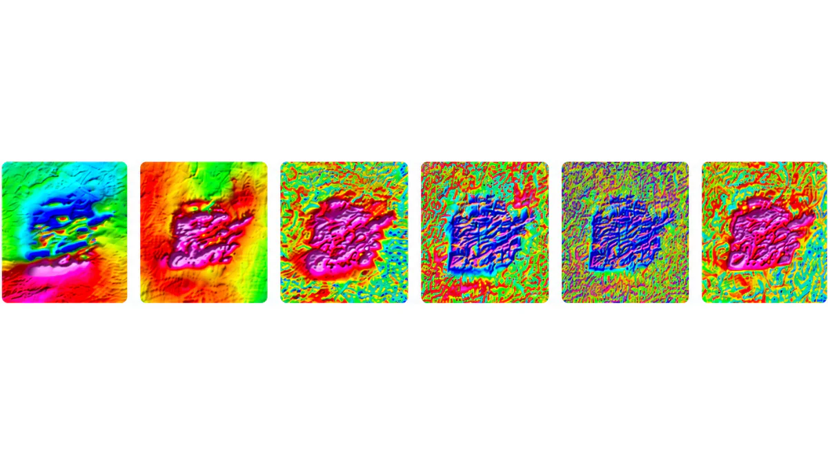
Detects variations in the Earth's magnetic field caused by minerals such as magnetite and pyrrhotite. Maps subsurface geological structures including contacts, faults, and intrusions across large survey areas efficiently.

Geological Mapping

Drill Targeting

3D Modeling

Integration with Datasets

Survey Data Collection

Frame 2147223445.png

Geological Mapping

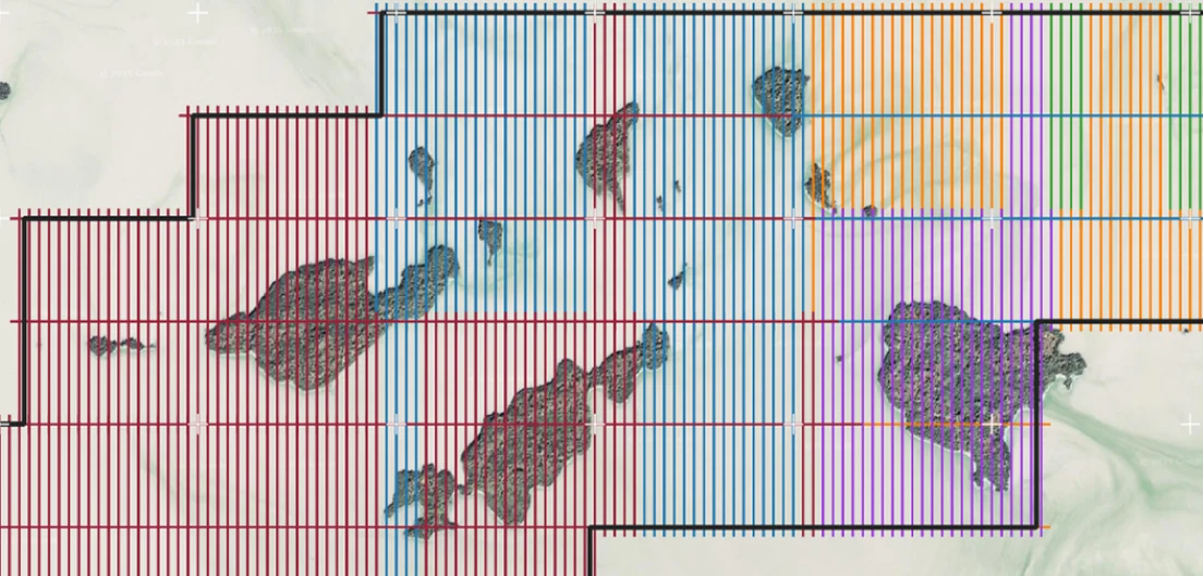
Once acquisition and processing are complete, Rosor's team transforms raw geophysical data into a suite of enhanced maps, revealing structure, lithological boundaries, and zones of interest across the property. These maps give clients a clear geological picture well before any drill is mobilized, supporting informed decisions at every stage of the program.

Interpretation
and Data Delivery

image 63347189.png

Rosor Exploration Advantages

Rosor provides purpose-built platforms, expert geological interpretation, and end-to-end quality control. Each stage of the survey process depends on the one before it, and we maintain the same standard of precision from acquisition through to final delivery.

At Rosor Exploration, we harness cutting-edge airborne survey technology and pair it with expert geological interpretation. Our approach acts as an extension of your geological team, delivering precise, actionable insights to accelerate exploration and resource discovery.

image 63347142.png

Testimonials

What Our Clients Say

“.png

Rosor has helped our exploration efforts both on the ground and with the drill bit utilizing their drone-borne surveys. They communicated effectively throughout the work program and processed the data within our tight time frame. We enjoy working with the team and look forward to using them again.

Nathan Tribble

VP Exploration

Industries We Serve

Our airborne geophysical solutions are designed to support diverse sectors.

Trusted Partners

50+ Clients Worldwide

image 63347124 (1).png
image 63347120 (1).png
image 63347123 (1).png
image 63347122 (1).png
baysidegeoscience_cmyk-01 2 [Vectorized] (1).png
image 63347192.png

Case-studies

Featured Projects

Frame 2147241593.png

Smarter Gold Exploration

Frame 2147258297.png

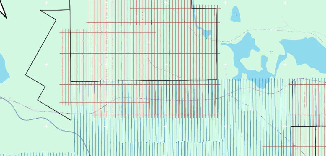
Merging Multiple Surveys

Frame 2147258298.png

Harmonization in a Drone Survey

Frame 2147258301.png

High Production in a Challenging Environment

Trusted by

50+ Clients Worldwide

bottom of page